🌎🚨 STRONG 6.4 EARTHQUAKE ROCKS PAPUA NEW GUINEA — More Than 1.4 Million People Felt the Shaking
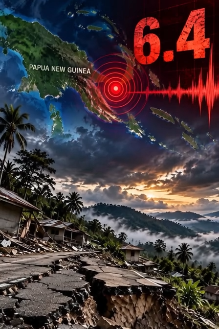
STRONG 6.4 EARTHQUAKE ROCKS PAPUA NEW GUINEA — HUNDREDS OF THOUSANDS FEEL THE SHAKING
A powerful magnitude 6.4 earthquake struck the Eastern New Guinea region of Papua New Guinea on September 20, sending noticeable shaking across a broad area and putting hundreds of thousands of people within the earthquake’s felt zone.
According to data from the U.S. Geological Survey (USGS), the earthquake occurred at 09:17 UTC, corresponding to approximately 7:17 p.m. local time. The epicenter was located about 49–50 kilometers (30–31 miles) north-northeast of Kainantu, while the earthquake originated at a relatively deep depth of approximately 104 kilometers (65 miles) beneath the surface.
Although a magnitude 6.4 earthquake is strong enough to be felt over a considerable distance, the depth of this particular event is an important factor in understanding its potential impact.
🌎 SHAKING FELT ACROSS A LARGE POPULATED AREA
Preliminary USGS estimates indicate that approximately 386,000 people experienced moderate shaking, while another 1.05 million people may have experienced light shaking.
That means the earthquake was felt by a very large population, even though the strongest effects were concentrated closer to the epicentral region.
For residents in affected communities, the experience can still be unsettling. Buildings may sway, windows and household objects can rattle, furniture can shift, and people may suddenly feel as though the ground is moving beneath them.
The amount of shaking experienced by any individual, however, depends on several factors, including distance from the epicenter, local geology, building construction and the depth of the earthquake.
A deep earthquake can behave very differently from a shallow earthquake of the same magnitude.
📍 WHY THE DEPTH MATTERS
The earthquake’s estimated depth of 104 kilometers places it well below the Earth’s surface.
That depth is significant because earthquakes occurring deeper underground generally produce a different pattern of surface effects compared with shallow earthquakes.
Shallow earthquakes can transfer intense energy into the near-surface environment, potentially causing severe localized destruction close to the epicenter. A deeper earthquake, by contrast, can distribute shaking across a wider region while reducing some of the most severe surface effects immediately above the source.
That does not mean a deep magnitude 6.4 earthquake should be ignored.
People can still experience strong or disturbing shaking, particularly in areas where local ground conditions amplify seismic waves or where buildings are not designed to withstand earthquakes.
But the depth provides important context when ᴀssessing the initial risk.
⚠️ USGS ISSUES GREEN ALERTS
Following the earthquake, the USGS issued Green alerts for both fatalities and economic losses.
In the USGS alert system, a Green alert indicates that serious casualties or significant economic losses are considered unlikely based on the preliminary earthquake parameters and modeled exposure.
These alerts are not a guarantee that no damage occurred.
Earthquake impacts can vary significantly from one community to another, and preliminary ᴀssessments may change as additional information becomes available.
For that reason, authorities and residents in the affected region still need to remain attentive to local reports, particularly if additional shaking occurs.
⛰️ LANDSLIDE RISK CONSIDERED LIMITED
Another important aspect of the earthquake is the potential for landslides.
Because the earthquake occurred at considerable depth, widespread earthquake-triggered landsliding is not expected.
That is encouraging for communities located in mountainous or rugged terrain.
However, the absence of a widespread landslide threat does not mean the possibility is completely eliminated.
Isolated slope failures can still occur in locations where terrain is particularly unstable. Steep hillsides, areas already weakened by heavy rainfall, loose rock, road cuts and other vulnerable slopes can be more susceptible to movement when seismic shaking occurs.
Residents near steep slopes should therefore remain alert for unusual cracking, falling rocks, shifting ground or other signs of instability.
🌏 PAPUA NEW GUINEA — A REGION SHAPED BY EARTHQUAKES
Papua New Guinea sits within one of the world’s most seismically active regions.
The country lies within the broader tectonic environment of the Pacific and Australian plate systems, where complex interactions between tectonic plates generate frequent earthquakes and volcanic activity.
As a result, earthquakes are not unusual in Papua New Guinea.
What makes every event different is its magnitude, depth, location and relationship to populated areas.
The September 20 earthquake occurred in the Eastern New Guinea region, north-northeast of Kainantu, an area surrounded by rugged terrain and communities spread across mountainous landscapes.
Even when an earthquake does not produce major structural damage, a strong event can still create significant anxiety for residents who feel the ground move unexpectedly.
🔎 WHAT HAPPENS NEXT?
Immediately after a significant earthquake, attention typically turns toward damage ᴀssessments and reports from local communities.
Emergency officials may inspect roads, bridges, buildings, power infrastructure and other critical facilities.
Residents may also check homes for cracked walls, fallen objects, damaged roofs or broken utilities.
In remote areas, however, determining the full impact can take time.
Some communities are separated by mountainous terrain, and access can be difficult even under normal circumstances. If roads or communications are disrupted, reports of damage may not arrive immediately.
That means preliminary earthquake alerts should be viewed as an early ᴀssessment rather than a final accounting of the event.
🌐 A MAJOR SHAKE — BUT NO IMMEDIATE SIGN OF A WIDESPREAD DISASTER
The magnitude 6.4 earthquake was undoubtedly strong enough to attract attention across Papua New Guinea, with an estimated 1.4 million people experiencing at least light shaking based on USGS exposure estimates.
Yet the initial indicators are relatively reᴀssuring.
The earthquake occurred deep underground, USGS issued Green alerts for fatalities and economic losses, and widespread landsliding is not expected.
Still, earthquakes are dynamic events, and conditions can continue to develop after the initial shock.
Residents who felt the earthquake should continue monitoring information from local authorities and emergency agencies. Anyone who discovers structural damage should avoid entering buildings that appear unstable and report hazards where possible.
For now, the focus remains on determining exactly how communities around Eastern New Guinea experienced the earthquake and whether any localized damage occurred.
A magnitude 6.4 event is a powerful reminder that the ground beneath even remote and mountainous regions can move with enormous force.
The shaking has stopped — but ᴀssessments are only beginning.
👇 Did you feel the earthquake in Papua New Guinea or nearby areas?
✓ Team
STRONG 6.4 EARTHQUAKE ROCKS PAPUA NEW GUINEA — HUNDREDS OF THOUSANDS FEEL THE SHAKING A powerful magnitude 6.4 earthquake struck the Eastern New Guinea region of Papua…